
Digital Twins & BIM
What is a building digital twin and when is it worth investing in?
What a building digital twin is, the capability levels on offer and how to decide whether one is worth the investment.
Start a city twin with one bounded decision and a plan for keeping the model current.
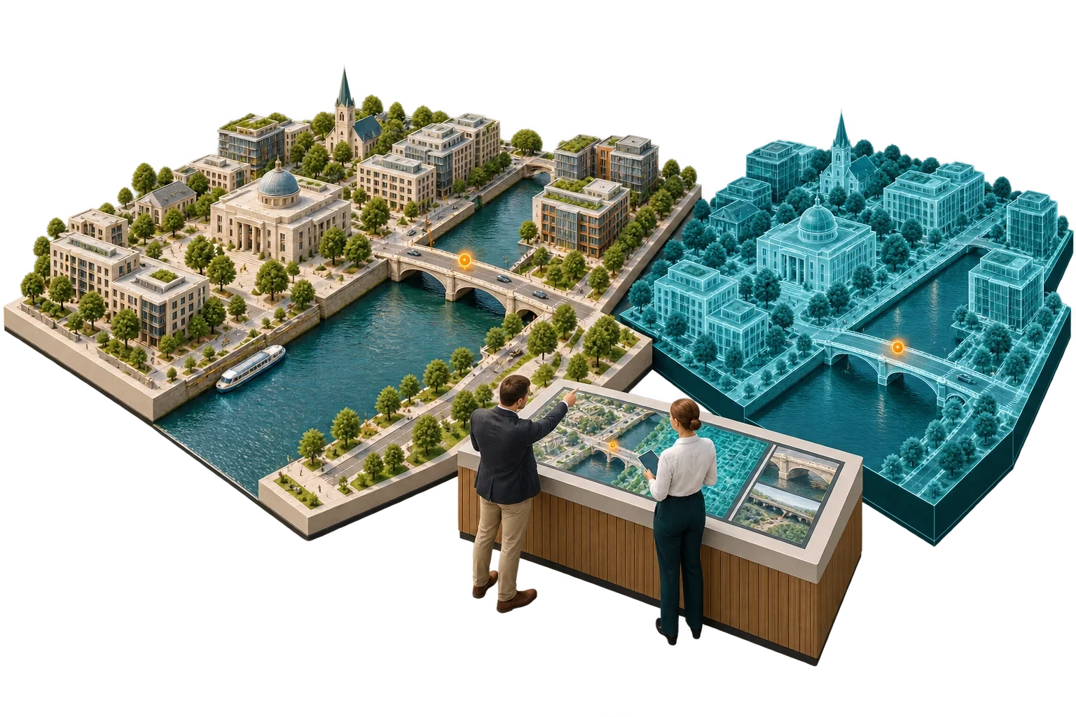
A city digital twin is a digital representation of a defined part of a city, covering its buildings, terrain, infrastructure and networks, connected to data and models that help answer specific questions. How would a proposed development affect its surroundings? Where is infrastructure under strain? How might a flood or heatwave affect an area, and how will demand change?
The term stretches across very different capabilities, from a detailed 3D city model used for planning to a live operational view of a utility network, and that breadth is a trap. However impressive it looks, a 3D model alone provides no analytical or predictive capability.
The sound order is to define the decision first, then specify the model, data, update process and validation that the decision requires.
At its base sits a geometric and semantic city model: buildings, streets, terrain, vegetation, water and infrastructure, with attributes describing what each object is. CityGML, a standard of the Open Geospatial Consortium (OGC), defines a conceptual model and exchange format for virtual 3D city models. Version 3.0 standardises the underlying information model so that it can be implemented in technologies other than its original GML encoding, such as JSON or database schemas, and adds support for dynamic data from sensors and simulations. CityGML is used in applications including planning, facility management, BIM integration and energy, traffic and environmental simulation.
Connected to that model is data of several kinds: observed data such as sensor readings, traffic counts or utility measurements; reference data such as land registry and asset records; and building information models for new developments. On top come analytical models and simulations of solar access, wind, flood, traffic, energy demand and dispersion, each with its own assumptions. And around everything sits governance: who updates the model when the city changes, who validates it and who may use it for what.
As NIST has noted, "digital twin" has no single agreed definition. In procurement that ambiguity is a real risk, because two suppliers may both offer a "city digital twin" and mean entirely different things. The specification should therefore describe the capability required in its own terms, so that suppliers are compared on what they will deliver.
| Use | Question it answers | What it needs |
|---|---|---|
| Planning and development control | How does a proposal affect daylight, views, wind and the street scene? | Accurate 3D context, proposal models, simulation tools |
| Infrastructure capacity | Where are energy, water or transport networks under strain? | Network models, demand data, utility cooperation |
| Climate resilience | Which areas are exposed to flooding or overheating? | Terrain, drainage, climate scenarios, validated models |
| Operations | What is the live status of a network or service? | Real-time data feeds, integration with operating systems |
| Engagement | How can residents understand a proposal? | Accessible visualisation, clear labelling of what is real and what is proposed |
Each use demands different accuracy, update frequency and validation. A model good enough for strategic comparison may be quite unsuitable for an operational decision.
Users need to be able to tell at a glance what has been measured, what has been modelled or estimated, and what is a proposed scenario. Assumptions should remain visible to decision makers without overwhelming the public interface, and a scenario output should never be presented as a guaranteed future.
A city twin decays as the city changes. Someone has to be responsible for updating buildings and infrastructure, for each data feed and for model validation, and there has to be an agreed way for new developments to deliver their information. Requiring developers to provide building information in an agreed format at planning or completion is one practical way of keeping the model current.
The safest start is one decision, with an accountable user and data that can be maintained. Prove the model is fit for that purpose, then expand. A twin built to answer no particular question is likely to end up as an expensive visualisation.
This article connects to our work on Masterplan design.
We can discuss how this subject fits the project brief.
Contact Pagin Consulting